We've started the morning chilly with a few light snow showers impacting eastern Montana, while skies are clear further east central Montana. Today will be mainly sunny and mild, with highs spiking into upper 50s and lower 60s, slightly above our average highs of the mid 50s.


A ridge of high pressure is building into the state and will move across the area tomorrow, further warming temperatures into the low to mid 70s. Some high clouds will stream in during the evening as a cold front approaches the region.

On Wednesday, a cold front will drop south from Canada, with snow initially developing in Glacier National Park and spreading south through central Montana later in the evening. Temperatures will drop throughout the day on Wednesday, causing any rain to quickly transition to snow. Snow will continue into Thursday morning as temperatures fall into the 20s.

Snow totals will vary significantly across the area. The highest snowfall is likely to occur along the Continental Divide and the Rocky Mountain Front. Central Montana also has the potential to receive several inches of snow, while lesser amounts are expected further north towards the Hi-Line. Thursday will be blustery and cold, with temperatures struggling to rise above the 30s.

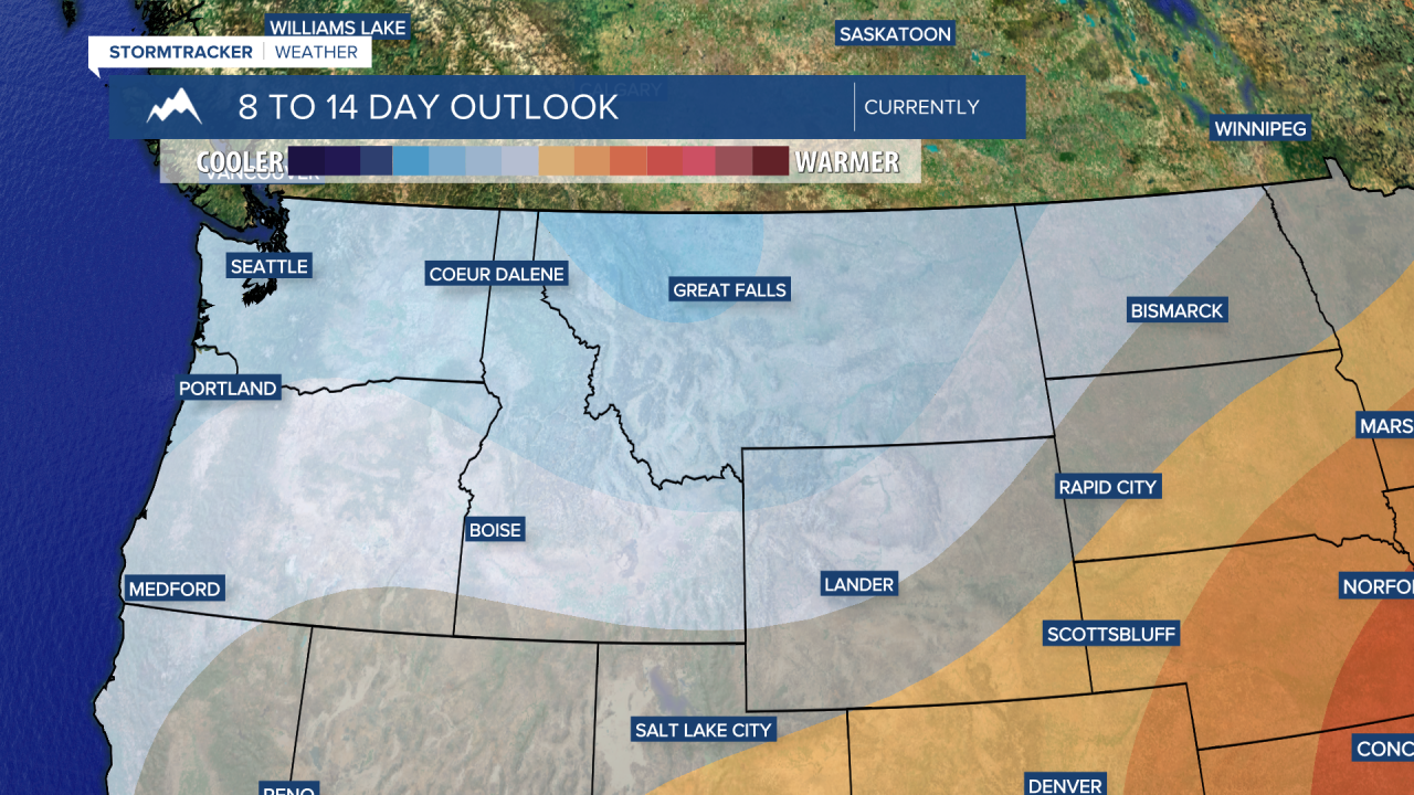
Temperatures quickly on Friday and Saturday, with highs reaching the 60s and 70s. However, it will cool down and turn unsettled by Easter Sunday, with highs dropping into the 50s.


