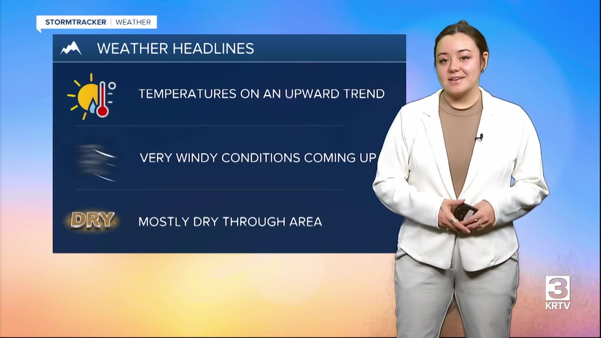
WEATHER DISCUSSION: Warming temperatures and windy conditions are the main key points this weekend. Temperatures warm up into the 50s as upper-level ridging takes control of the area. As the ridge moves East out of the state downstream of a tilted upper-level trough, winds will begin to increase Sunday morning. Gusty West winds develop across Central/N-central MT Sunday with the strongest extending from the Rocky Mountain Front and portions of the Hi-Line, prompting a High Wind Warning for these areas that will last until midnight on Sunday. The winds look to develop following the passage of a mainly dry Pacific cold front, aided by the rise of surface pressure that will linger through Monday


Conditions remain dry with the exception of a few showers that are possible as through eastern portions of the state near Glasgow by Monday. Temperatures climb back to near seasonal averages through the rest of the weekend and remain close to seasonal averages Monday through Wednesday. Longer range model ensembles support the next round of upper level troughing moving into the area by the end of next week into the weekend, prompting a cool down of temperatures and increasing precipitation next weekend.
SATURDAY NIGHT: Mostly clear with lows in 30’s and 5 to 10 mph winds.
SUNDAY: Partly sunny then mostly clear with highs near 60 and lows in 30’s. Breezy, with wind gusts up to 65 mph possible.
MONDAY: Mostly sunny then partly cloudy with highs in 50’s and lows in 30’s. Breezy, gusts up to 50 mph.
TUESDAY: Sunny then mostly cloudy with highs in 60’s and lows in 30’s. 5 to 10 mph winds.
WEDNESDAY: Chance of rain. Partly sunny then mostly cloudy with highs in 70’s and lows in 40’s.
THURSDAY: Chance of rain. Partly sunny then mostly cloudy with highs in 60’s and lows in 40’s.
FRIDAY: Chance of rain and mostly cloudy with highs in 50’s and lows in 30’s.


