

After a weekend that brought smoke and sunshine to central Montana, a beautiful start to the week lies ahead. On Monday, daytime highs will reach the low to mid-80s, along with abundant sunshine. As we move into Tuesday, temperatures climb into the upper 80s to low 90s ahead of an approaching trough, which will send a strong cold front through the area Tuesday night.

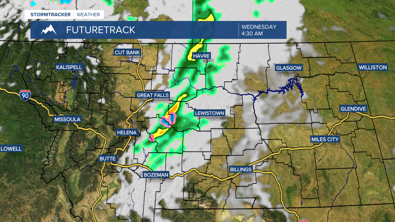
Daytime highs will reach the upper 80s to low 90s on Tuesday, before dropping into the 50s and 60s on Wednesday. Showers and thunderstorms will accompany the cold front, although most of the precipitation will occur overnight on Tuesday. It will be quite breezy both Tuesday and Wednesday, with gusts exceeding 30mph across Central Montana, and possibly reaching over 45mph along the Rocky Mountain Front.

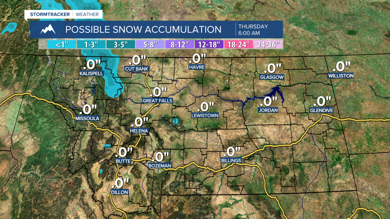
Additionally, this system could bring the first snowfall of the season to higher elevations, with snow levels dropping as low as 6,000 feet by Wednesday morning. Some of the higher peaks may see a quick coating of up to an inch of snow.
Looking ahead, temperatures will rebound quickly for the remainder of the week, with highs climbing back to the mid to upper 80s by Friday. A drier stretch of weather settles in as we kick off September, although shower chances may return early next week.

