


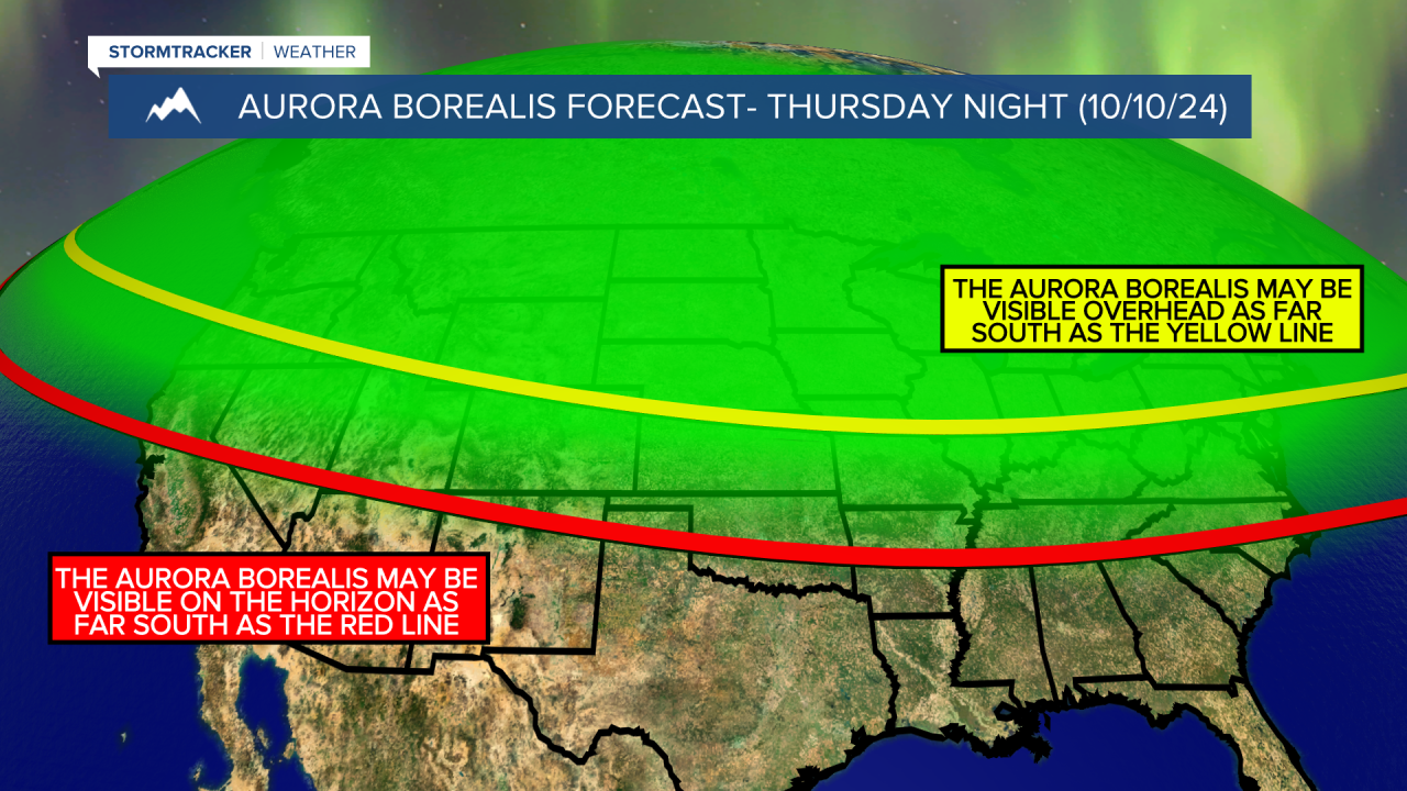
A G4 geomagnetic storm is currently ongoing, which means it is very likely that we will see the aurora borealis tonight where skies are clear. The clearest skies tonight will be in north-central Montana where mostly clear skies are forecasted. Around Helena, it is going to be partly cloudy tonight. If you are going to head out to see the northern lights tonight, make sure you take a couple layers with you as it will be chilly with lows getting down into the 30s and low 40s. Also, just a reminder, for the best viewing, get away from city lights and have a clear view to the north. At this time, the northern lights should be visible throughout the entire night, but they will be strongest prior to midnight. It is also going to continue to be hazy tonight around Helena.
For tomorrow, we are going to have partly cloudy skies with a couple isolated showers around. We are also going to have increasing haze tomorrow in portions of north-central Montana, and it is going to be hazy/smoky throughout the day tomorrow around Helena, and at times the air quality may be unhealthy for sensitive groups. It is also going to be mild tomorrow as highs are going to be in the mid to upper 60s and low 70s. There is also going to be a breeze around tomorrow along the Rocky Mountain Front and in eastern portions of north-central Montana as sustained wind speeds are going to be between 10 and 20 mph.
We are then going to have beautiful weather this weekend as we are going to have mainly sunny skies, dry conditions, little wind, and pleasant temperatures as highs are going to be in the 60s and low 70s on Saturday and the mid to upper 60s and low to mid 70s on Sunday. Definitely make sure you spend some time outdoors this weekend! It is also going to continue to be hazy in some areas this weekend, especially in southwestern Montana.
Lots of sunshine, mainly dry conditions, and above average temperatures (highs in the 70s and low 80s) are then expected on Monday and Tuesday as an upper-level ridge is going to be in control of our weather. We are then going to have increasing clouds on Wednesday with highs in the mid to upper 60s and low to mid 70s. It is also going to be a little breezy in some areas on these three days as sustained wind speeds are going to be between 5 and 20 mph.
On Thursday, we are going to have partly cloudy skies with a chance of rain and mountain snow showers as a cold front passes through our area. It is also going to be cooler and windier on Thursday as highs are going to be in the 50s and low 60s, and sustained wind speeds are going to be between 10 and 30 mph.


