Good Tuesday afternoon everyone!
We are expecting showers with possible thunderstorms to start to move back into the region this afternoon through the evening. Some showers will linger into the night.
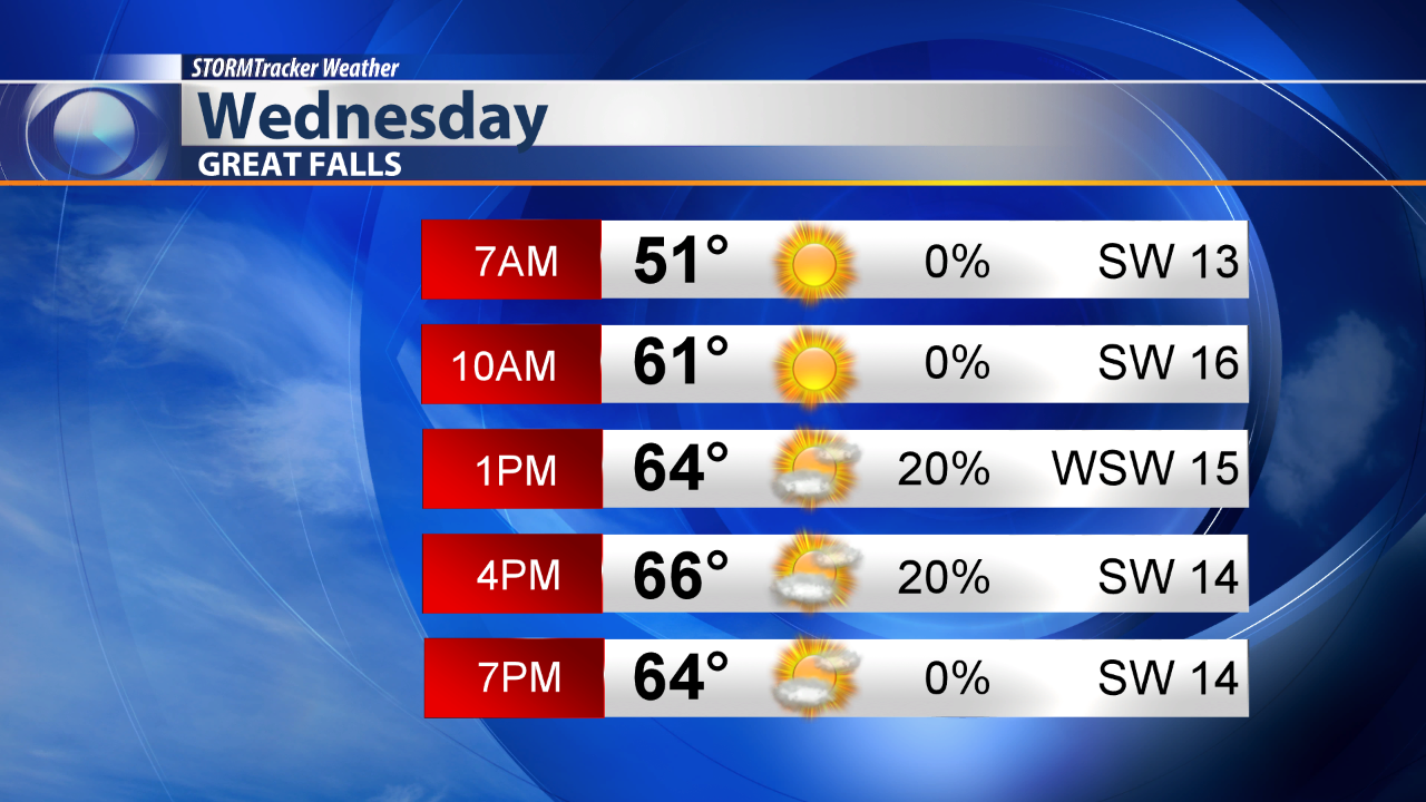
We should start off dry tomorrow morning for many of us.

But showers and thunderstorms will start firing up as we head into the afternoon.

Many of us are included in a low chance area for isolated severe thunderstorms. The best time to see severe thunderstorms will be from the late afternoon through the evening hours. The main threats will be gusty winds up to 50 mph along with quarter size hail. Even though Helena, Great Falls and Havre aren't included in this low risk area on the map, I believe we could see a stray storm become severe.

The Flood Watch continues for portions of North Central Montana through Wednesday at 6 p.m.

Here's a look at your Wednesday City Day Planner.


