


WEATHER DISCUSSION: This weekend was on the chillier side for August. On Saturday, highs remained in the low to high 80’s for most of the state with breezy and gusty conditions and shower and thunderstorm chances. A lot of North Central MT saw wind gusts up to 20 mph, with most of the windier conditions along the Rocky Mtn. Front and the Hi-line. Gusts got up to 40 mph at times but through the night, those winds are looking to die down on the lighter side. Most of the precipitation today will also most likely be in the night time hours between 9 pm to midnight. Showers and possibly some non-severe thunderstorms are looking to be centered on the Eastern portion of the state during that time according to our Futuretrack radar pictured below.

Tomorrow, expect the temperatures to nudge cooler. By cooler, I just mean not in the typical August 90’s to 100’s. Daily highs will once again be in the mid to high 70’s and 80’s. Sunday however will take a break from the windy and wet conditions Saturday saw. As an upper-level ridge begins to build in, the state will begin to dry off with the daily highs beginning to build as well.
Coming to the forecast this upcoming work week will be hot and dry temperatures with daily highs in the 90’s and 100’s. The focus for Tuesday will be fire weather concerns due to temperatures pushing into the 100’s and relative humidity levels going down into the teens. Wind speeds will also be monitored closely because gusty conditions could add to fire weather concerns as well. Expect more moisture next weekend and temperatures returning to the 80’s.


SATURDAY NIGHT: Chance of showers on the Eastern portion of the state, mainly between 9pm and midnight. Mostly cloudy, then gradually becoming mostly clear with a lows in 50’s. Breezy, 10 to 25 mph becoming light after midnight. Winds could gust as high as 30-40 mph before lightening up.
SUNDAY: Sunny then clear. Highs in 70’s and lower 80’s with lows in upper 40’s and 50’s. 6 mph winds becoming calm.
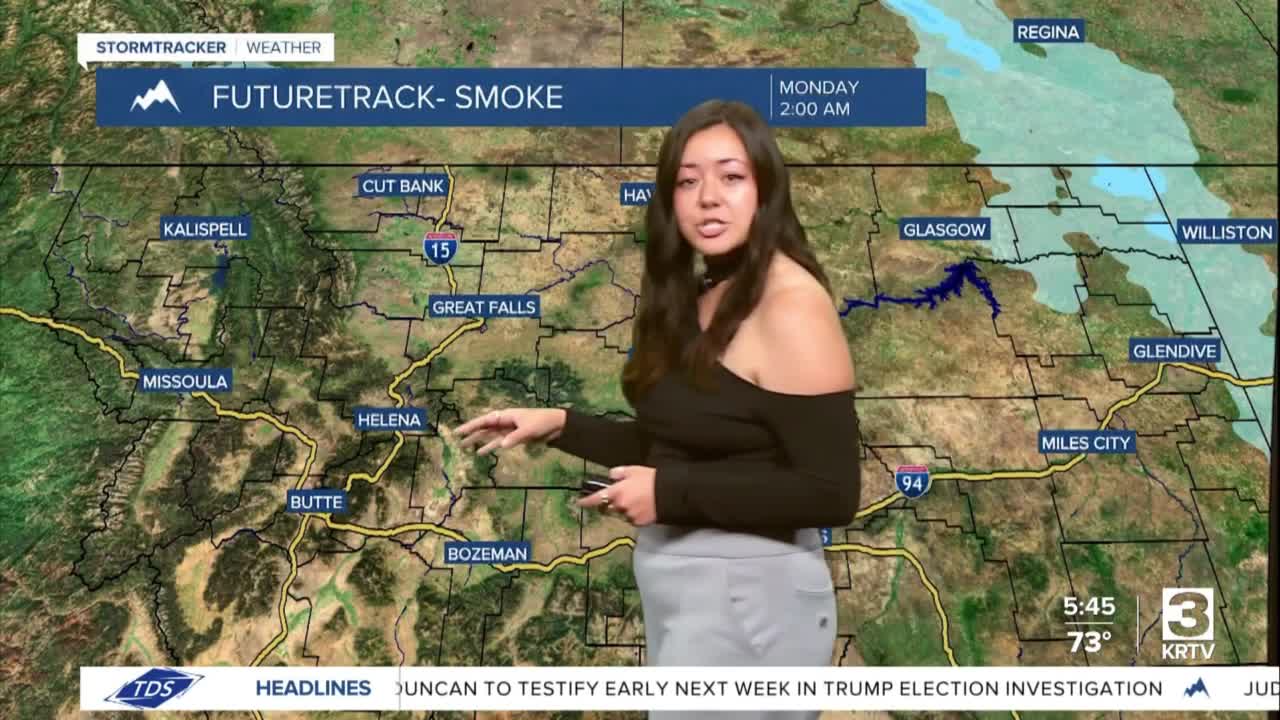
MONDAY: Sunny then clear, with highs in the 90’s and lows in the 50’s. 3 to 10 mph winds with gusts up to 20 mph along the Rocky Mountain Front.
TUESDAY: Sunny and hot, then mostly clear. Highs in the upper 90’s and 100’s with lows in the upper 50’s to 60’s. 5-16 mph with gusts up to 25 mph.
WEDNESDAY: Mostly sunny then mostly clear with highs in the 90’s and lows in the 50’s.
THURSDAY: Sunny and hot, then mostly clear. Highs in the upper 90’s and 100’s with lows in the 50’s to 60’s.
FRIDAY: Sunny with highs in the 90’s.
