We are going to have mostly clear skies tonight with a few isolated showers and thunderstorms around, generally along the eastern half of the Hi-Line. We are also going to have diminishing wind this evening, with just a light breeze overnight. It is also going to be mild tonight as lows are going to be in the 50s and low 60s.
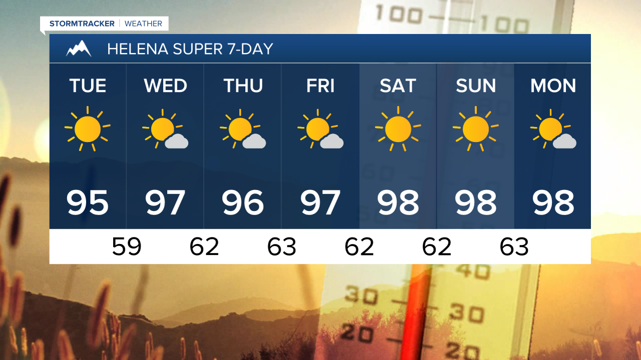
For tomorrow and Wednesday, we are going to have lots of sunshine and mainly dry conditions (just a couple stray showers/thunderstorms around) as an upper-level ridge is going to be in control of our weather. It is also going to be very warm to hot on these two days as highs are going to be in the mid to upper 80s and low to mid 90s tomorrow, and the 90s and upper 80s on Wednesday. There is also not going to be much wind around on these two days as sustained wind speeds are going to be between 5 and 15 mph.
There are then going to be a few showers and thunderstorms around on Thursday, generally in locations east of I-15, as a disturbance passes through our area. We are also going to have partly to mostly sunny skies and hot temperatures on Thursday as highs are going to be in the upper 80s and low to mid 90s in most locations.
Lots of sunshine is then expected Friday through Monday as an upper-level ridge is going to be in complete control of our weather. Most locations are also going to continue to remain dry over these four days, but a couple isolated showers and thunderstorms are possible each day during the PM hours, generally in the mountains. It is also going to be very hot on these four days as highs are going to be in the 90s and upper 80s in most locations. There is also going to continue to be little to no wind around on these four days as sustained wind speeds are going to be between 5 and 15 mph.