Happy Tuesday! Interesting note: We've had measurable snow (0.1" or greater) every day for the last 9 days in Great Falls. Although it snowed after midnight, the airport only recorded a trace of snowfall, so the streak is broken today. However, this is still super impressive, as it ties for the 3rd longest stretch of daily measurable snowfall.

Today will feature plentiful sunshine and slightly below average temperatures. However, it will actually be the mildest day in over a week in Great Falls. Daytime highs will range from the 10s and 20s on the Hi-Line to the low to mid-30s in central Montana.

Winds will pick up this afternoon along the Rocky Mountain Front, spreading east across the plains tonight and continuing into Wednesday. Expect blowing and drifting snow, poor visibility, and ground blizzards, with gusts reaching 60-70 mph for the Rocky Mountain Front and 35-45 mph across the plains.

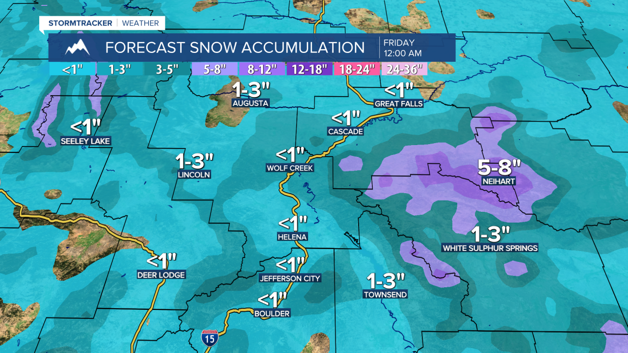
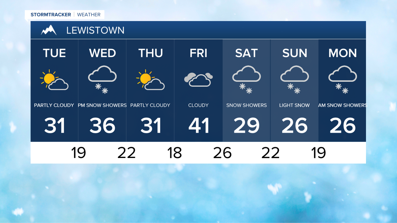
There will also be some light snow around on Wednesday, with accumulations of up to an inch in lower elevations and 3-7 inches in the mountains by Thursday morning. High pressure will build in briefly from Thursday into Friday, bringing cooler temperatures in the 20s and 30s on Thursday and warming into the 30s and 40s on Friday, accompanied by strong winds as a another system approaches.


A system will move through Montana from Friday evening through Sunday evening, resulting in cooler temperatures and widespread snow, with heavier accumulations expected in the mountains.


