


Happy Thursday! It is a pleasant but mild start to the day. After a high of 95° in Great Falls on Wednesday, a passing weather system will bring slightly cooler temperatures and a chance of thunderstorms.
As of 8:30am, a line of showers and embedded thunderstorms is moving through Toole and Liberty counties, bringing light precipitation amounts. This batch will push further east throughout the morning, mainly impacting the Hi-Line.

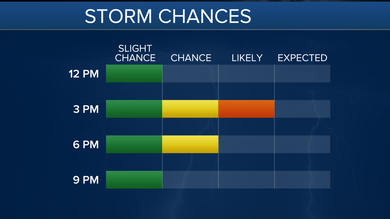
Later today and tonight, scattered showers and thunderstorms will develop, with the highest likelihood of storms in the Golden Triangle area. While most areas will see only a 30-40% chance of precipitation, the Storm Prediction Center has placed north central Montana under a marginal risk of severe weather, with gusty winds, lightning, and brief downpours possible in one or two storms.
Thursday will be hazy across the region as a wind shift brings additional wildfire smoke into central Montana. The hot and dry pattern looks to persist through Friday and the weekend, with highs in the low to mid 90s. A few isolated thunderstorms are possible Saturday evening, mainly in the mountains.

An early heads-up: the middle of next week (July 23-24) is shaping up to be very hot, with many areas reaching 100°F. However, long-range models hint at a possible cooldown by the following weekend, with highs in the 80s. Keep your fingers crossed if you're ready for a break from the heat!


