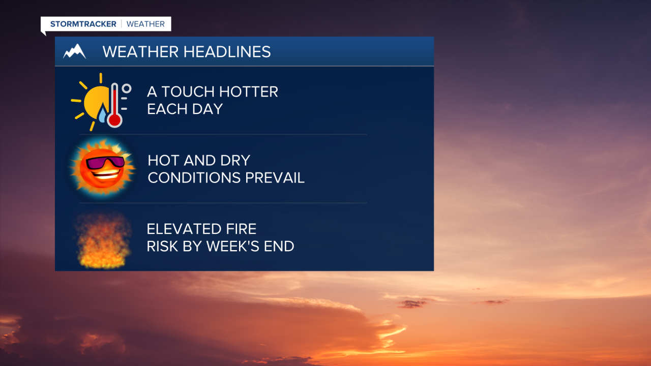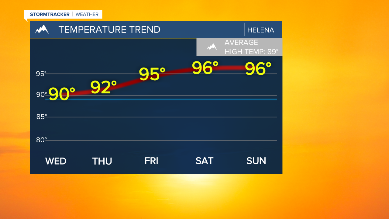
Weather discussion: A gradual warming trend is expected for the rest of the week. Temperatures will climb to the mid and even upper 90s by Friday and into the weekend. The hot weather is expected to stick around through at least mid next week.
Rain chances remain slim throughout the rest of the week and next weekend. Fuels will continue to dry out enhancing the risk of fire starts. While wind wont be a major factor this week, lightning from isolated thunderstorms could spark fires. The greatest threat of fire ignition will be in southwestern Montana.


Tuesday night: Clear to mostly clear skies with a light northeasterly breeze. Overnight lows in the mid to upper 50s.
Wednesday: Mostly sunny. Highs in the mid to upper 80s. Remaining mostly clear overnight as temperatures fall into the upper 50s.
Thursday: Sunny, turning hot. Highs in the lower 90s. Mostly clear overnight with temperatures falling into the lower 60s.
Friday: Sunny and hot. A stray storm is possible east of Great Falls. Highs in the mid to upper 90s. Mostly clear overnight as temperatures fall into the lower 60s.
Saturday: Sunny and hot. A stray storm is possible in southwestern Montana. Highs in the mid 90s. Mostly clear overnight as temperatures fall into the lower 60s.
Sunday: Sunny and hot. Highs in the mid to upper 90s. Mostly clear overnight with lows in the low to mid 60s.
Monday: Sunny and hot. Highs in the mid 90s. Overnight lows in the low 60s.
Tuesday: Sunny. Highs in the lower 90s.


