


After a marvelous Memorial Day weekend weather-wise, Tuesday will feature more clouds and warm temperatures. A weak front is moving across the area, so temperatures will be a few degrees cooler than yesterday, but still pleasant, ranging from the 70s to near 80 degrees. Winds will be lighter across the region today.

A strong ridge of high pressure will bring plenty of sunshine and mostly dry conditions for the rest of the week. However, a weak system could bring a shower or thunderstorm Thursday evening. The hottest days will be Thursday and Saturday, with temperatures approaching 90 degrees.
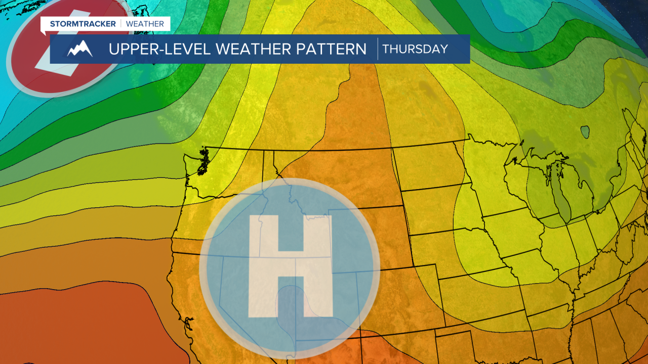

Winds will strengthen on Thursday and Saturday. Coupled with the hot temperatures, the fire danger will be elevated, so please do your part to prevent new fires.
By Sunday, clouds increase, and some showers and thunderstorms develop during the afternoon and evening. A larger storm system arrives early next week, bringing a significant shift in our weather pattern. Widespread rain and embedded thunderstorms are likely from Monday into Tuesday. Daytime highs will drop into the 50s and 60s, and winds will become stronger.


