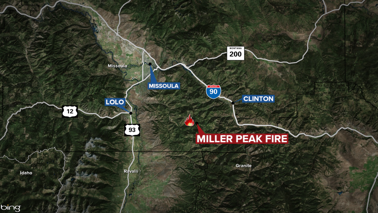
MISSOULA — A wildfire that broke out Sunday afternoon and grew quickly is holding at approximately 500 acres as of Monday morning.

The Lolo National Forest noted in a social media post that it’s hard at this time to get “accurate acreage” on the Miller Peak Fire due to a lack of visibility and the terrain in the area.
An update was provided late Monday morning on a previously ordered Evacuation Warning issued by the Missoula County Sheriff’s Office.
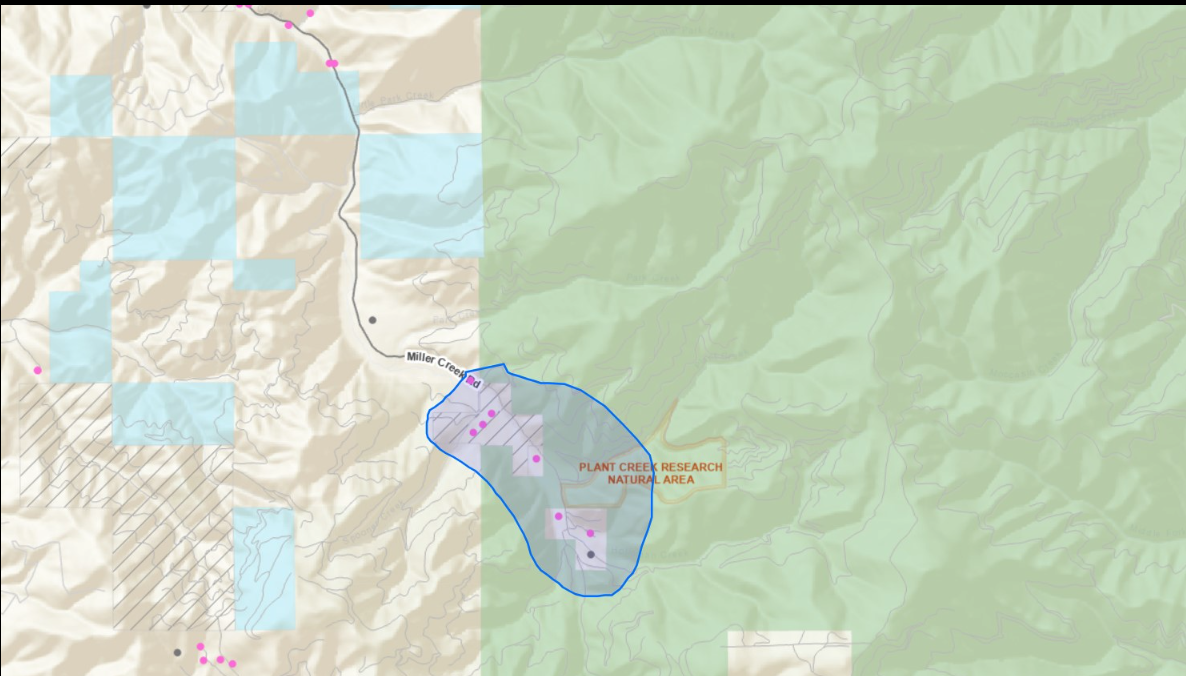
The warning now covers residents from 14380 Upper Miller Creek Road to the junction of the West Fork Schwartz Creek Road and then from the Junction of West Fork Schwartz Creek Road to 7018 West Fork Schwartz Creek Road.
Residents in the area of the fire are being urged to sign up for SMART911 at smart911.com and create a profile in order to receive alerts and information about the Miller Peak Fire.
The Lolo National Forest reports helicopters will continue to work on the Miller Peak Fire on Monday, July 15,but the air tankers that were working on Sunday will not be used because officials say they weren’t effective.
Resources on scene include eight engines, three helicopters and multiple crews on the ground. An Incident Management Team has been ordered to take over at the scene of the blaze.
There are 62 people assigned to the Miller Peak Fire. The cause of the blaze remains under investigation.