

GREAT FALLS — The Montana Department of Transportation is asking Montanans to help identify future transportation needs across the region through the ongoing Central Montana Transportation Study.
The long-term study covers a nine-county area, including Great Falls and Lewistown, and looks at how roads are functioning today while also preparing for future impacts tied to growth, development, and Air Force’s Sentinel project.
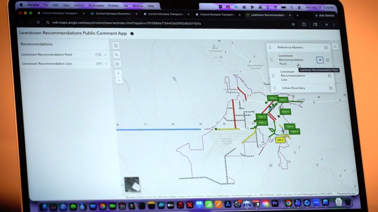
MDT recently held public open houses in Lewistown and Great Falls, but officials say public feedback is still welcome online through the study website and an interactive map tool.
“This study together kind of gives us a baseline of what our roadways look like now and also directs us as to the issues that are out there,” said Jim Wingerter, MDT Great Falls District Administrator. “What may be needed in the future and what we need to focus on with these impacts potentially coming to both areas.”
The study includes evaluations across the entire region, but also takes a closer look at several specific corridors and focus areas.
According to the website those include:
- Access Management Plan: 57th Street S from 2nd Avenue N to US 87/89 (RP 7.5 to RP 8.4) and US 87/89 from 57th Street S to Secondary 227/228 (RP 87.4 to RP 90.4)
- Lewistown Subarea Analysis: MDT on-system routes and local routes within the urban boundary
- Great Falls Subarea Analysis: MDT on-system routes within the Metropolitan Planning Organization (MPO) planning area
- Old Havre Highway & US 87 Analysis: Old Havre Highway from 25th Avenue NE to US 87/15th Street and US 87 from 25th Avenue NE to Great Bear Avenue
- US 87 Armington Junction – Otter Creek Canyon Analysis: US 87 corridor between Armington Junction and Otter Creek Canyon (RP 0.0 and 7.2)
According to MDT, one of the major factors behind the study is the Air Force’s Sentinel project, which is expected to bring both short-term construction impacts and long-term transportation considerations to Central Montana.
“Construction activities themselves are going to be a huge impact to the area and to those corridors that we mentioned,” Wingerter said. “But once Sentinel is in here and set up, the sustainability of the base mission and of the Sentinel mission will be of most importance to us.”
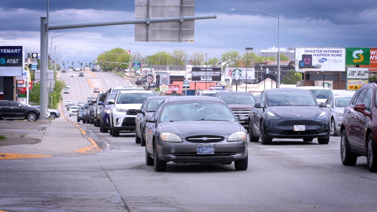
Wingerter said MDT is already considering how increased military-related traffic could affect roads in and around Great Falls.
“There has a potential of more convoys from the base to the interstate, which means more of an impact on 10th Avenue South coming in and going out to the interstate,” he explained. “And even going east, those convoys will still continue to impact our roadways going east of Great Falls out through Armington and the Otter Creek area on 87 and 200.”
Project leaders say the study is not a construction plan, but instead one of the early steps in identifying transportation concerns and possible future improvement options.
Public feedback gathered during the open houses, and through the online interactive map, will help shape that process moving forward.

“Instead of being able to stand with us and mark up a printed map in person, folks can go on the website and put a little pin in an online interactive map where they can note their concern,” said Sarah Nicolai, a project manager with Robert Peccia & Associates.
For people unable to attend the meetings in person, MDT has posted project materials online, including an interactive map where users can place a pin on roads, intersections, or corridors they believe need attention.
“We as engineers are very data-driven, and we make our decisions based on data,” Wingerter said. “Sometimes we don’t see everything, and we need our traveling public, their eyes and ears, to help us make decisions.”
MDT says draft reports for the study are expected by the end of the year.
More information, study materials, and the interactive comment map can be found through the Central Montana Transportation Study page on the MDT website.
